GPS 59° 32' 4.34" E 15° 2' 22.68
if you would like a detailed road description from where you are, you may visit Eniro and click on "vägbeskrivning" in the top left corner and write
Gustavsberg,NORA
http://kartor.eniro.se/m/94IVW
Nokia also has good maps:
http://maps.nokia.com/
Detailed instructions:
Leave Road 244 in the direction of Nora. Continue in towards the town to a Shell station on the right. Turn left and follow the signposts to Hjulsjö. Continue on this road to a gentle swing to the right (N.B. 30 kph.) until you reach an SHELL station on the left. Turn to the left towards Hjulsjö.
You are now on Bergslagsgatan. Continue straight ahead, over two dips in the road, through the built-up area. Immediately after a sign with the distance to Hjulsjö and Storå on the right, (0,2 km) where the built-up area ends, you will see the sign to Gustavsbergs on the left with the naturist swimming place sign under.
-----------------------------------------------
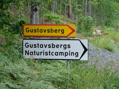
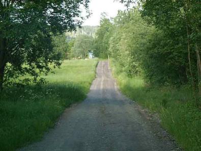
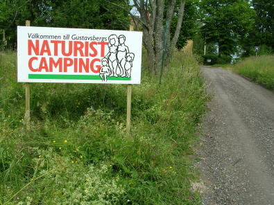
Turn to the right and continue straight ahead on the gravel road until you reach a parking place on the right.
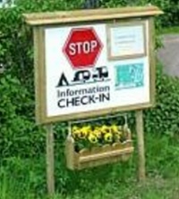
Park there while you check in to the camping site.
Read more about checking in here.


